Soil Survey and Land Evaluation of the Yukon Territory
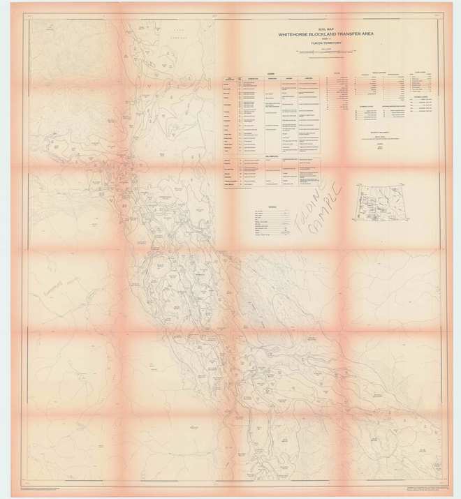
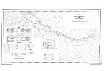
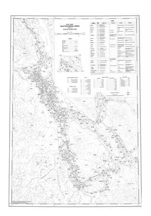
Sheet 1 - Soil Map
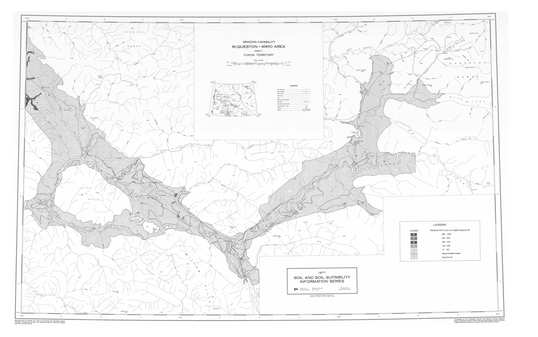
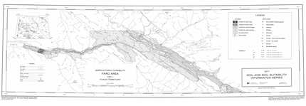
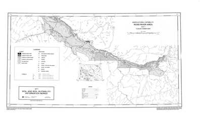
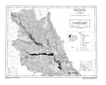
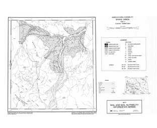
Sheet 1 - Agricultural Capability
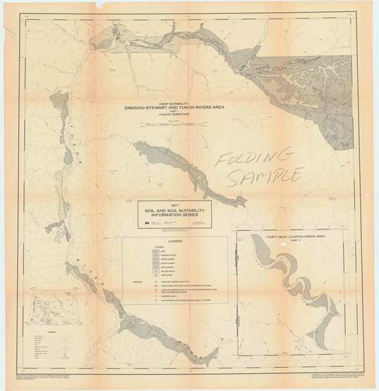
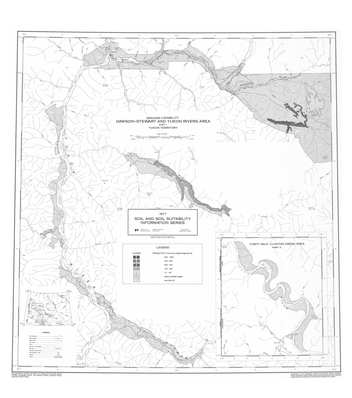
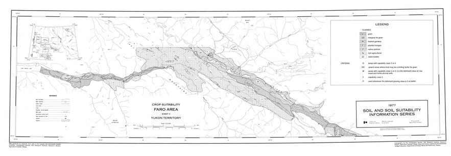
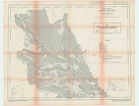
Sheet 1 - Crop Suitability
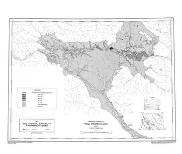
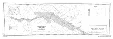
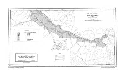
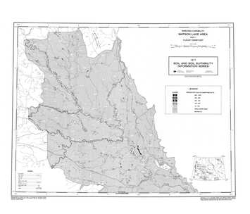
Sheet 1 - Grazing Capability
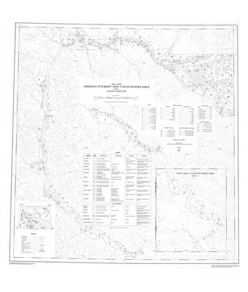
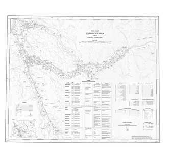
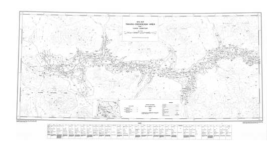
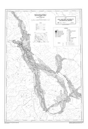
Sheet 2 - Soil Map
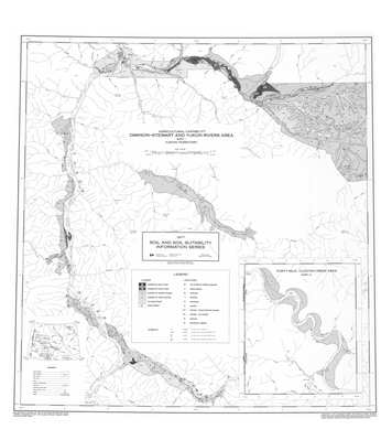
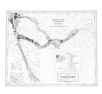
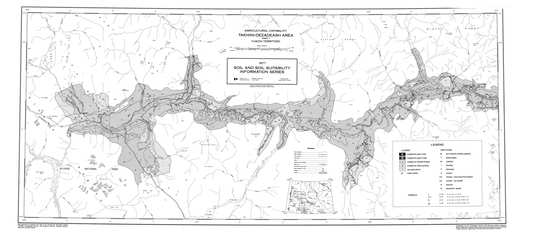
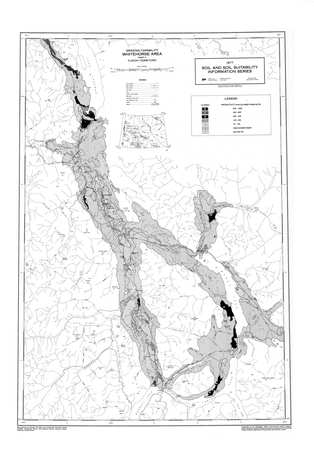
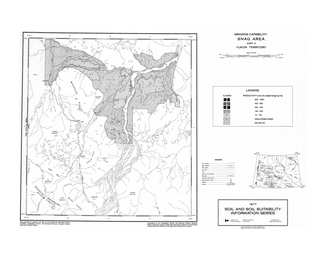
Sheet 2 - Agricultural Capability
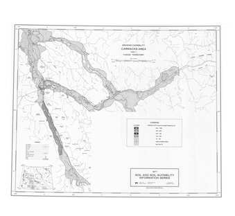
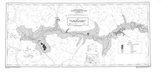
Sheet 2 - Grazing Capability
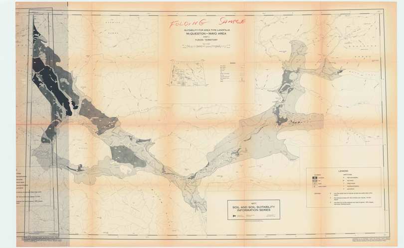
Sheet 2 - Landfill Suitability
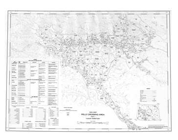
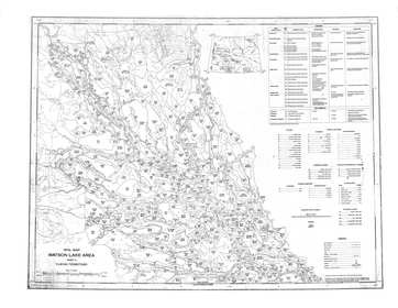
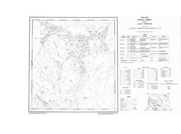
Sheet 3 - Soil Map
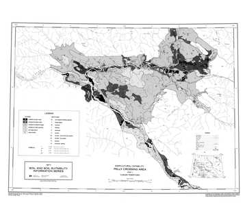
Sheet 3 - Agricultural Capability
Sheet 3 - Grazing Capability
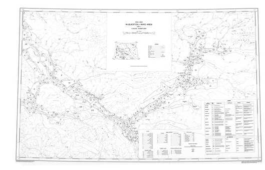
Sheet 4 - Soil Map
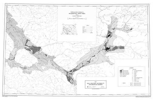
Sheet 4 - Agricultural Capability
Sheet 4 - Grazing Capability
Sheet 5 - Agricultural Capability
Sheet 5 - Grazing Capability
Sheet 5 - Crop Suitability
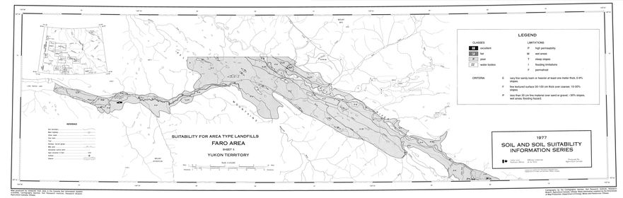
Sheet 5 - Landfill Suitability
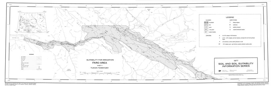
Sheet 5 - Irrigation
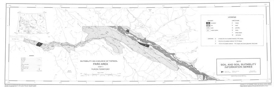
Sheet 5 - Topsoil
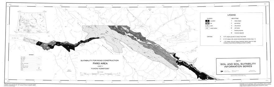
Sheet 5 - Road Construction
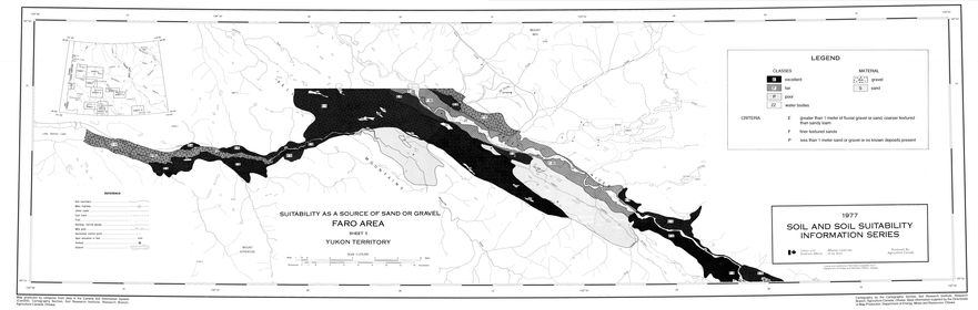
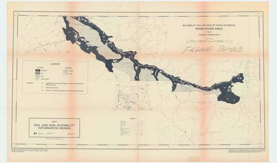
Sheet 5 - Sand and Gravel
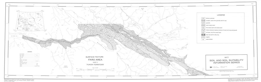
Sheet 5 - Surface Texture
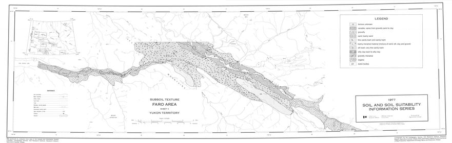
Sheet 5 - Subsoil texture
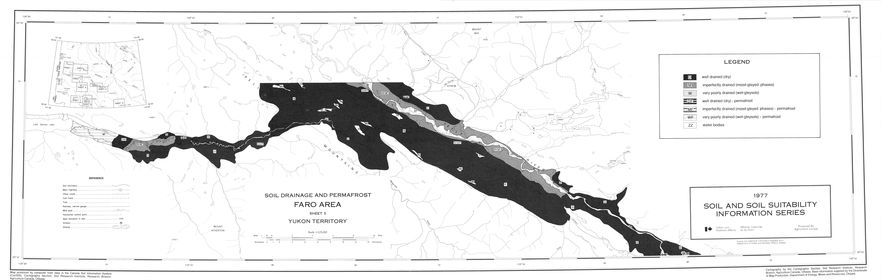
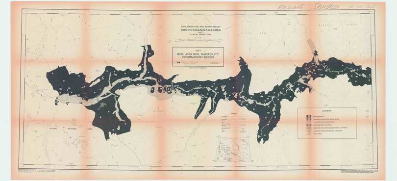
Sheet 5 - Drainage and Permafrost
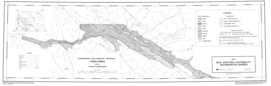
Sheet 5 - Topography and Genetic Material
Sheet 6 - Soil Map
Sheet 6 - Agricultural Capability
Sheet 6 - Grazing Capability
Sheet 6 - Sand and Gravel
Sheet 7 - Soil Map
Sheet 7 - Agricultural Capability
Sheet 7 - Grazing Capability
Sheet 7 - Soil Drainage
Sheet 8 - Soil Map
Sheet 8 - Agricultural Capability
Sheet 8 - Grazing Capability
Sheet 9 - Soil Map
Sheet 9 - Crop Suitability
Sheet 9 - Agricultural Capability
Sheet 9 - Grazing Capability
Sheet 10 - Soil Map
Sheet 10 - Agricultural Capability
Sheet 10 - Grazing Capability
Sheet 11 - Soil Map