Language selection

Search

Land Resource Inventory of Mill and Woodfibre Creeks

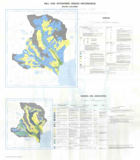
Terrain and general soil association map

View the map: Terrain and general soil association map (JPG Format)

Terrain and general soil association map (JPG, 3.07 MB)

Soils and vegetation map

View the map: Soils and vegetation map (JPG Format)

Soils and vegetation map (JPG, 3.59 MB)

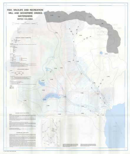
Fish, wildlife and recreation map

View the map: Fish, wildlife and recreation map (JPG Format)

Fish, wildlife and recreation map (JPG, 2.97 MB)

Recommended tree species composition to be established following harvesting map

View the map: Recommended tree species composition to be established following harvesting map (JPG Format)

Recommended tree species composition to be established following harvesting map (JPG, 2.5 MB)

Potential for mass movement following road construction map
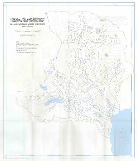
View the map: Potential for mass movement following road construction map (JPG Format)

Potential for mass movement following road construction map (JPG, 2.43 MB)

Potential to yield sediment following disturbance map
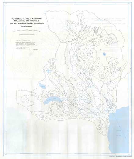
View the map: Potential to yield sediment following disturbance map (JPG Format)

Potential to yield sediment following disturbance map (JPG, 2.44 MB)

Potential problems associated with road construction map
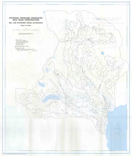
View the map: Potential problems associated with road construction map (JPG Format)

Potential problems associated with road construction map (JPG, 2.41 MB)

Relative road maintenance required to ensure drainage integrity map
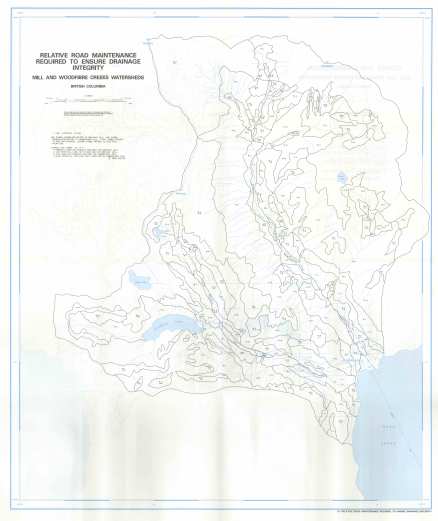
View the map: Relative road maintenance required to ensure drainage integrity map (JPG Format)

Relative road maintenance required to ensure drainage integrity map (JPG, 2.4 MB)

Slopes and configuration map

View the map: Slopes and configuration map (JPG Format)

Slopes and configuration map (JPG, 2.56 MB)

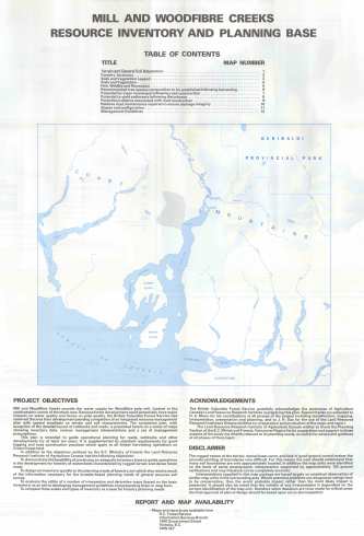
Table of contents and project objectives

View the map: Table of contents and project objectives (JPG Format)

Table of contents and project objectives (JPG, 2.02 MB)

Date modified: