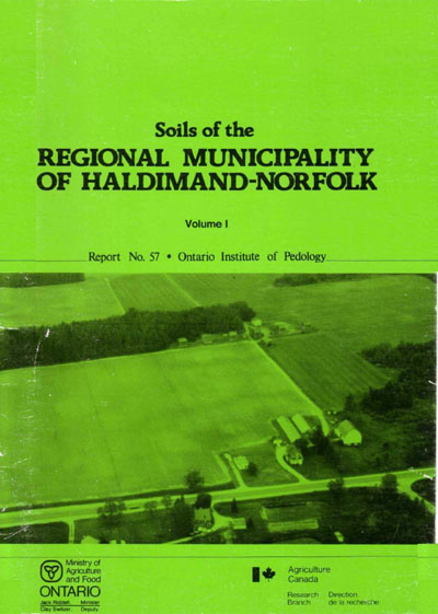
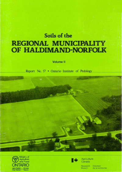
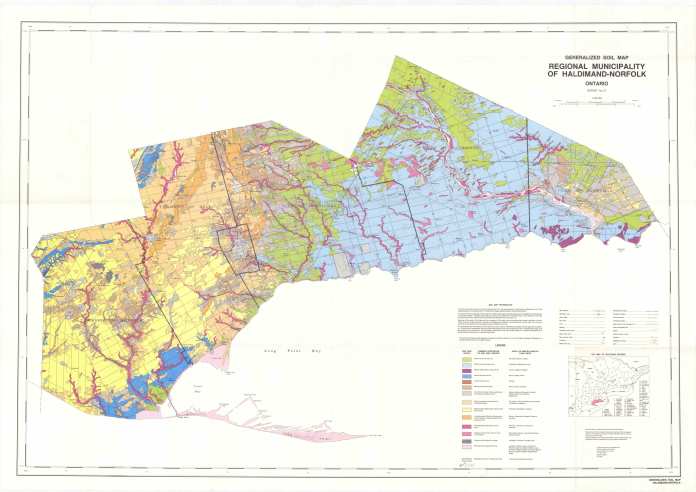
Soils of the Regional Municipality of Haldimand-Norfolk (Volume 1 and 2)
Soil survey map - sheet no. 1, Middleport-Caledonia

Soil survey map - sheet no. 1, Middleport-Caledonia (JPG, 5.41 MB)
Soil survey map - sheet no. 2, Blackheath-Caistorville
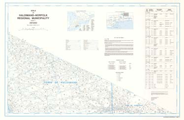
Soil survey map - sheet no. 2, Blackheath-Caistorville (JPG, 2.13 MB)
Soil survey map - sheet no. 3, Norwich-Teeterville

Soil survey map - sheet no. 3, Norwich-Teeterville (JPG, 5.72 MB)
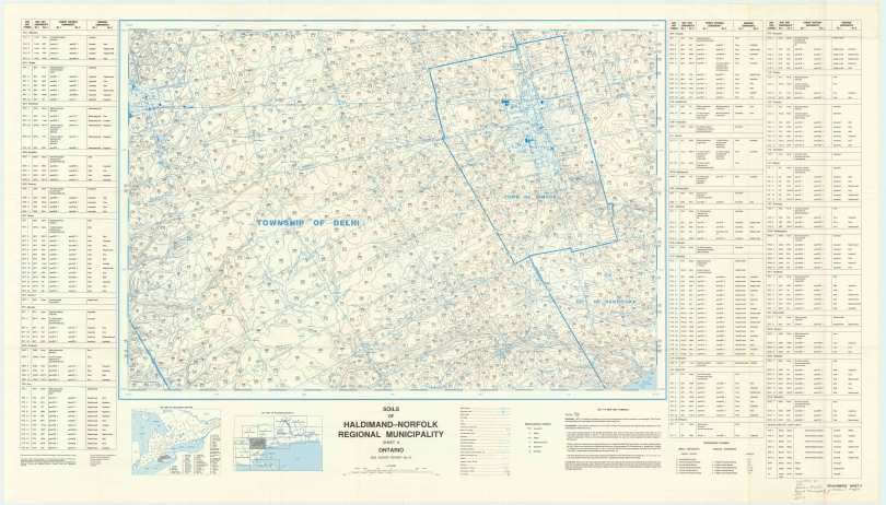
Soil survey map - sheet no. 4, Waterford-Villa Nova

Soil survey map - sheet no. 4, Waterford-Villa Nova (JPG, 9.1 MB)
Soil survey map - sheet no. 5, Hagersville-Nelles Corners
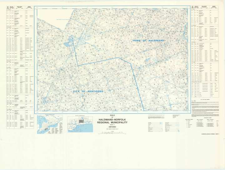
Soil survey map - sheet no. 5, Hagersville-Nelles Corners (JPG, 7.6 MB)
Soil survey map - sheet no. 6, Cayuga-Canboro
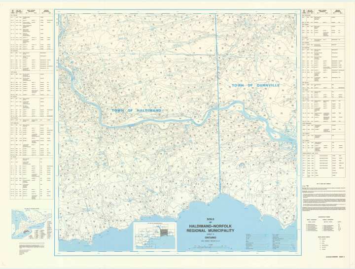
Soil survey map - sheet no. 6, Cayuga-Canboro (JPG, 7.98 MB)
Soil survey map - sheet no. 7, Dunnville-Long Beach
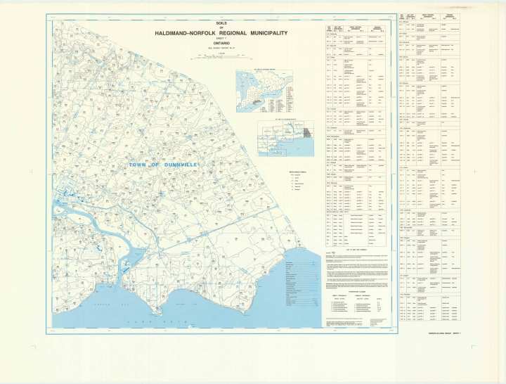
Soil survey map - sheet no. 7, Dunnville-Long Beach (JPG, 6.07 MB)
Soil survey map - sheet no. 8, Tillsonburg-Wyecombe
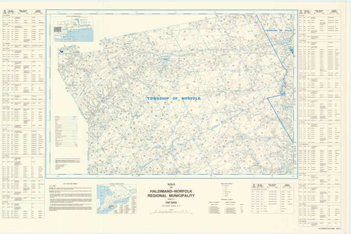
Soil survey map - sheet no. 8, Tillsonburg-Wyecombe (JPG, 7.29 MB)
Soil survey map - sheet no. 10, Port Dover-Sweets Corner

Soil survey map - sheet no. 10, Port Dover-Sweets Corner (JPG, 8.93 MB)
Soil survey map - sheet no. 11, Glen Meyer-Clear Creek
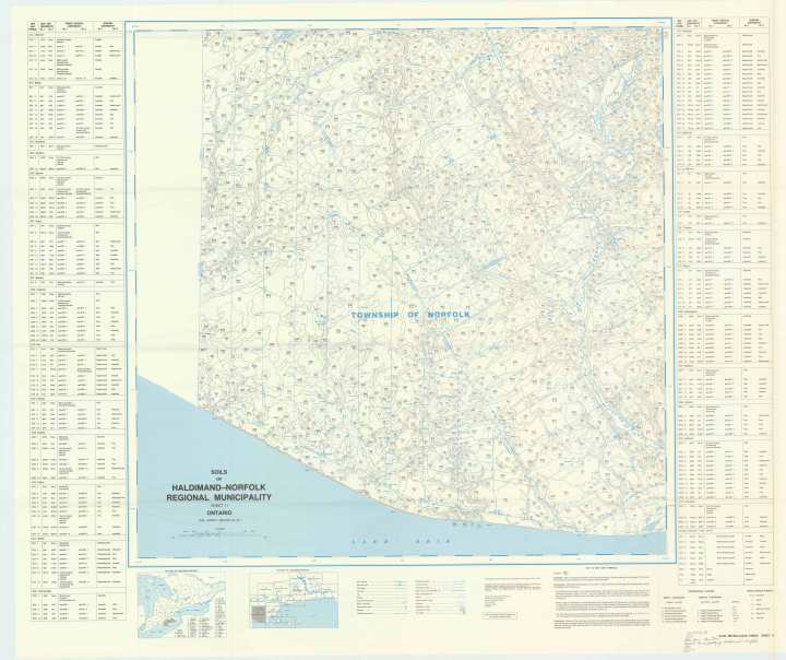
Soil survey map - sheet no. 11, Glen Meyer-Clear Creek (JPG, 8.74 MB)
Soil survey map - sheet no. 12, St Williams-Turkey Point
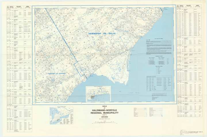
Soil survey map - sheet no. 12, St Williams-Turkey Point (JPG, 7.74 MB)
Soil survey map - sheet no. 13, Port Rowan-Gravelly Bay

Soil survey map - sheet no. 13, Port Rowan-Gravelly Bay (JPG, 7.82 MB)
