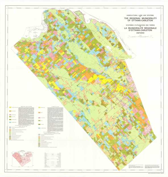
Agricultural Land Use Systems of the Regional Municipality of Ottawa-Carleton
Agricultural land use systems map - Nepean, Gloucester, Cumberland Townships

Agricultural land use systems map - Nepean, Gloucester, Cumberland Townships (JPG, 5.02 MB)
Agricultural land use systems map - Rideau, Osgoode Townships

Agricultural land use systems map - Rideau, Osgoode Townships (JPG, 4.47 MB)
Agricultural land use systems map - West Carleton, March, Goulbourn Townships

Agricultural land use systems map - West Carleton, March, Goulbourn Townships (JPG, 5.18 MB)
