Agricultural Land Use Systems of the Regional Municipality of Niagara
Agricultural land use systems map - sheet no. 1, Township of West Lincoln
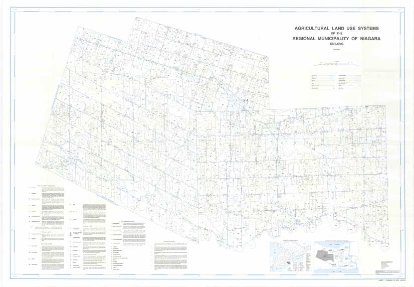
Agricultural land use systems map - sheet no. 1, Township of West Lincoln (JPG, 6.25 MB)
Agricultural land use systems map - sheet no. 2, Lincoln/Grimsby
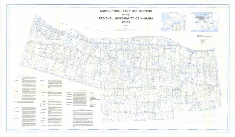
Agricultural land use systems map - sheet no. 2, Lincoln/Grimsby (JPG, 5.18 MB)
Agricultural land use systems map - sheet no. 3, St. Catharines/Niagara-on-the-Lake
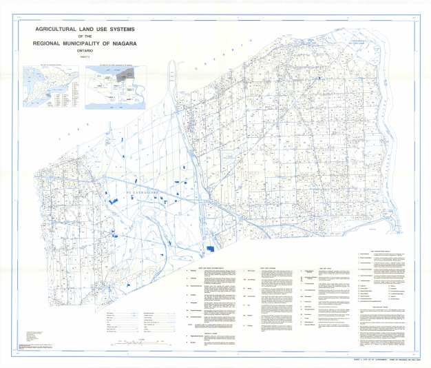
Agricultural land use systems map - sheet no. 3, St. Catharines/Niagara-on-the-Lake (JPG, 5.01 MB)
Agricultural land use systems map - sheet no. 4, Niagara
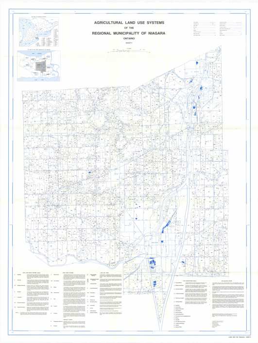
Agricultural land use systems map - sheet no. 4, Niagara (JPG, 5.86 MB)
Agricultural land use systems map - sheet no. 5, Niagara Falls

Agricultural land use systems map - sheet no. 5, Niagara Falls (JPG, 4.2 MB)
Agricultural land use systems map - sheet no. 6, Wainfleet
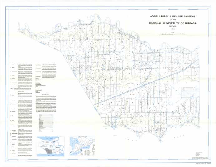
Agricultural land use systems map - sheet no. 6, Wainfleet (JPG, 4.73 MB)
Agricultural land use systems map - sheet no. 7, Port Colborne/Fort Erie
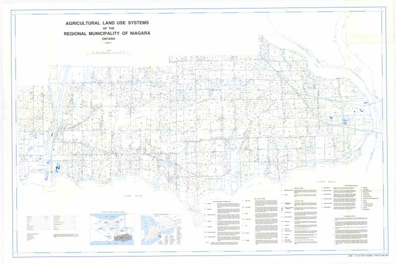
Agricultural land use systems map - sheet no. 7, Port Colborne/Fort Erie (JPG, 5.83 MB)

