Resource Inventory of the Southern Lakes Project (PDF, 24.6 MB)
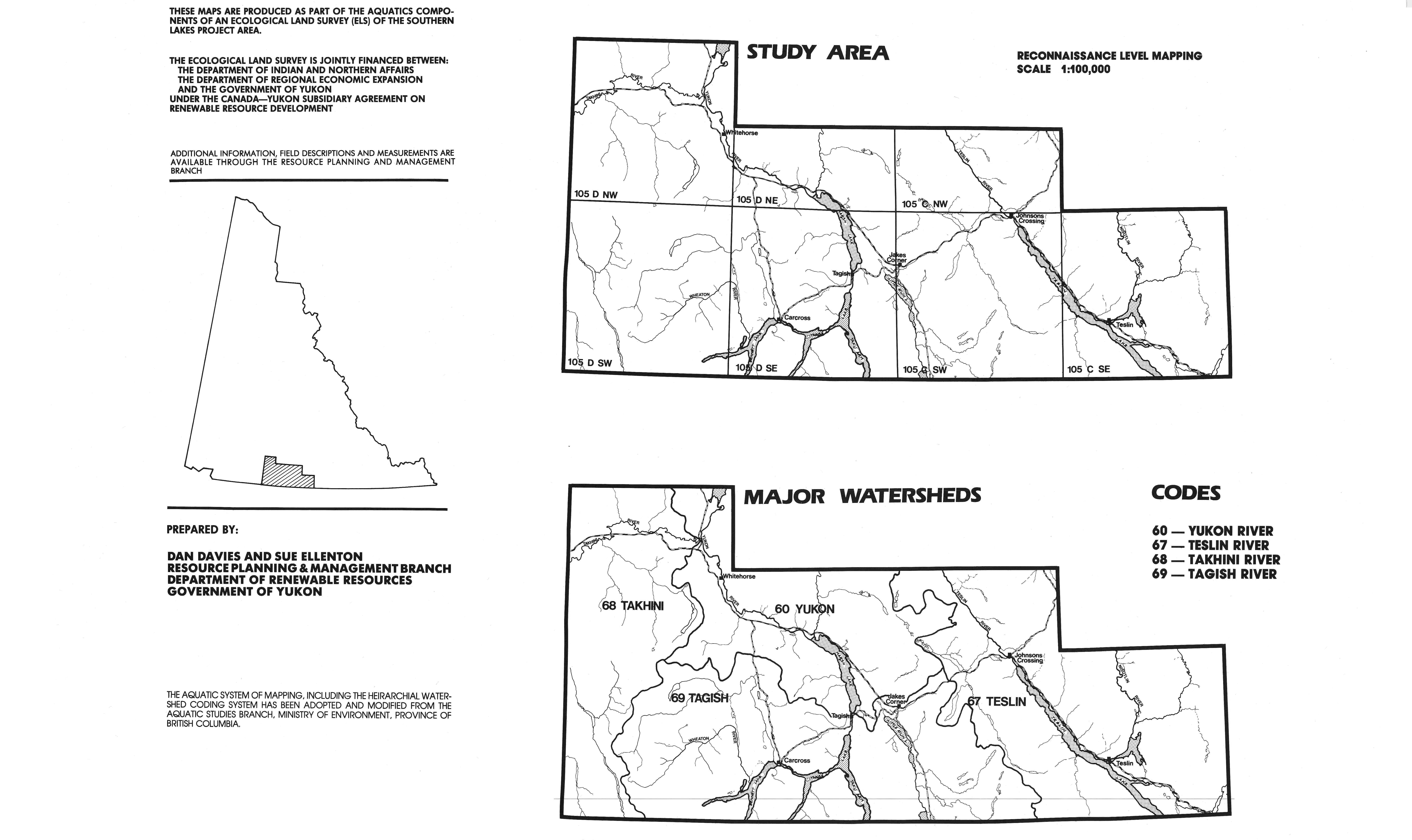
Aquatics-biophysical study area (JPG, 1.4 MB)
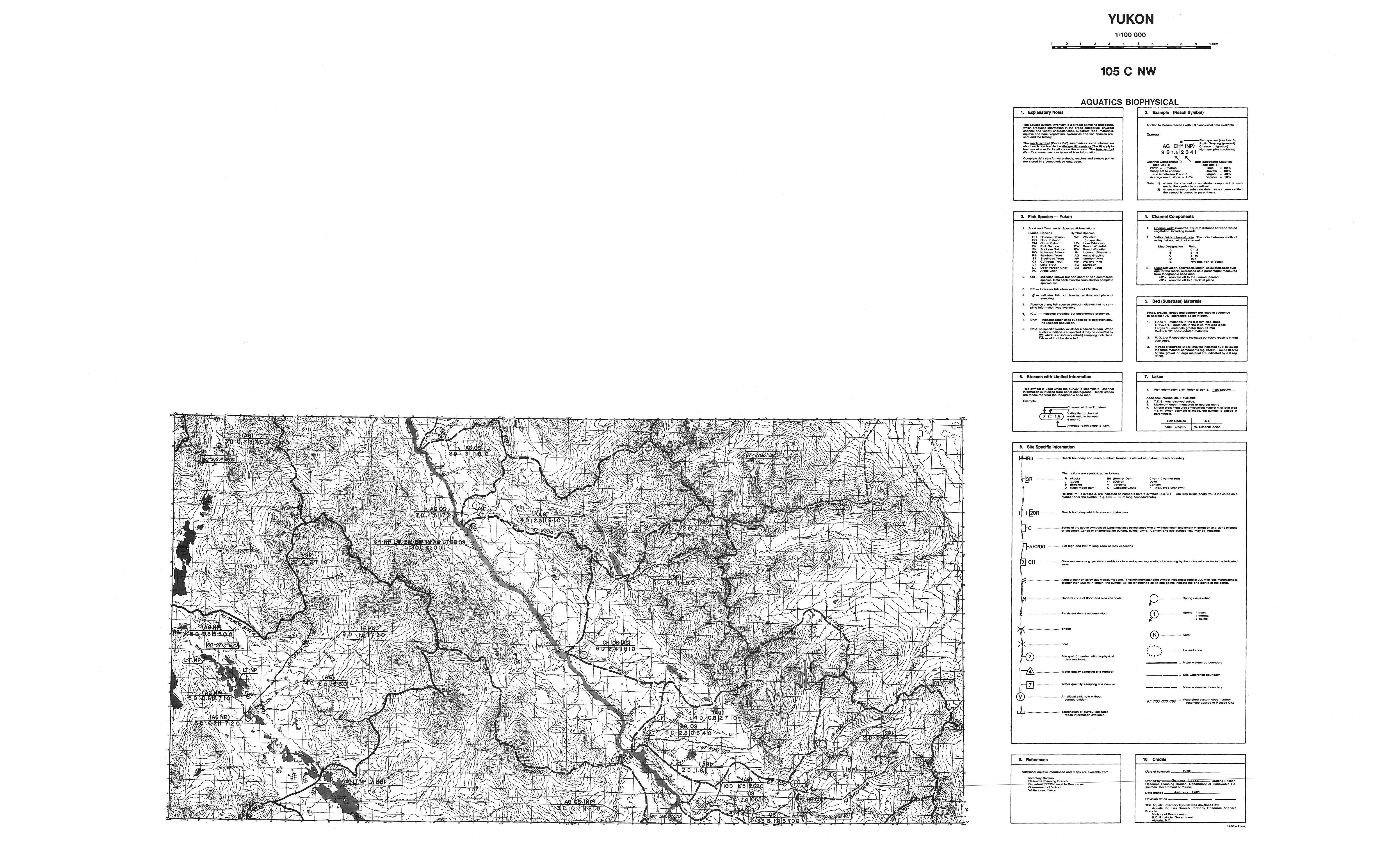
Aquatics-biophysical map: 105C nw (JPG, 4.65 MB)
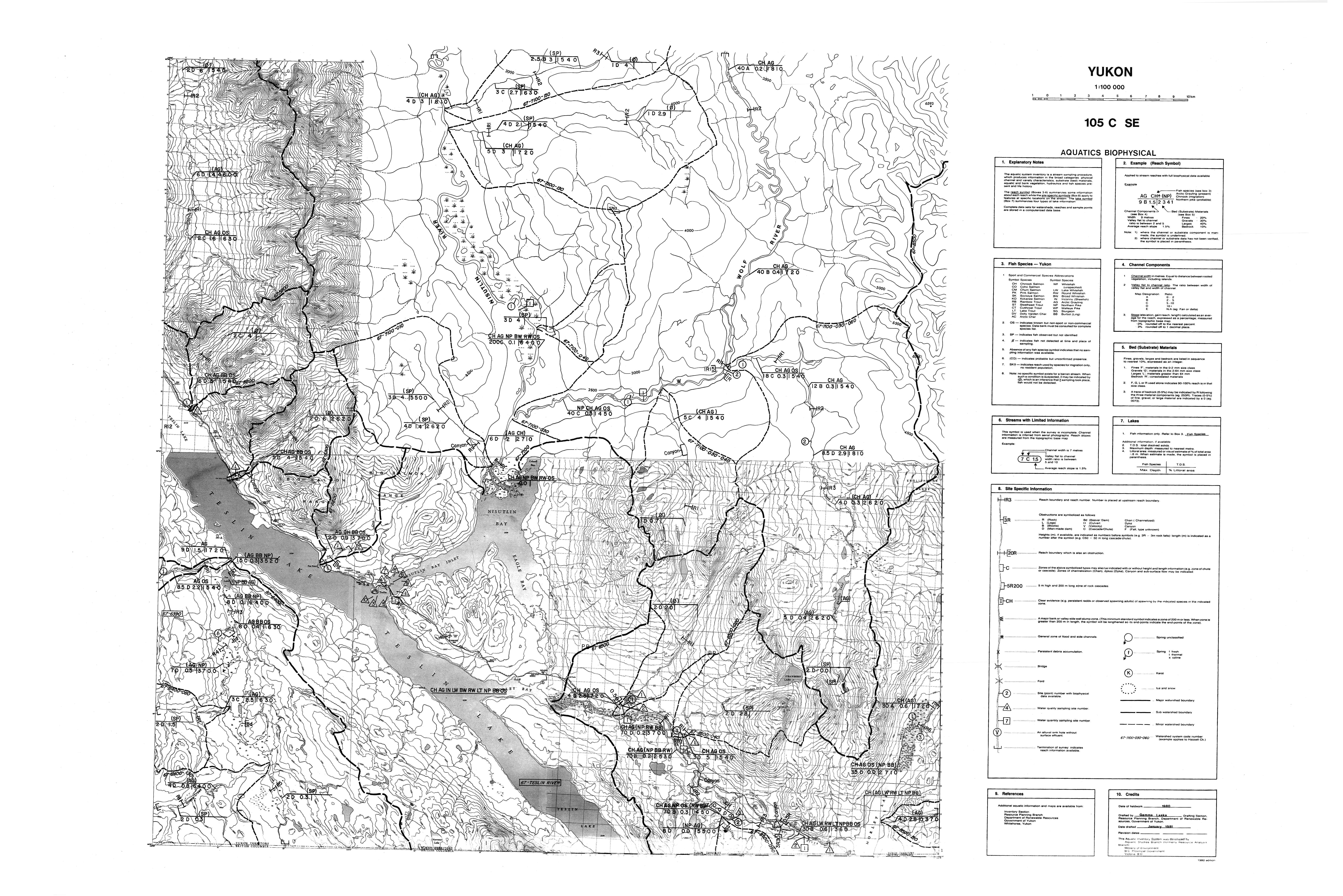
Aquatics-biophysical map: 105C se (JPG, 6.06 MB)
Aquatics-biophysical map: 105C sw (JPG, 7.6 MB)
Aquatics-biophysical map: 105D ne (JPG, 5.05 MB)
Aquatics-biophysical map: 105D nw (JPG, 7.84 MB)
Aquatics-biophysical map: 105D se (JPG, 8.12 MB)
Aquatics-biophysical map: 105D sw (JPG, 9.55 MB)
Surfical geology and soils study area (JPG, 659 KB)
Surfical geology and soils map: 105C nw (JPG, 3.59 MB)
Surfical geology and soils map: 105C se (JPG, 4.11 MB)
Surfical geology and soils map: 105C sw (JPG, 4.98 MB)
Surfical geology and soils map: 105D ne (JPG, 3.48 MB)
Surfical geology and soils map: 105D nw (JPG, 5.47 MB)
Surfical geology and soils map: 105D se (JPG, 5.35 MB)
Surfical geology and soils map: 105D sw (JPG, 6.05 MB)
Vegetation study area (JPG, 1.7 MB)
Vegetation map: 105C nw (JPG, 4.21 MB)
Vegetation map: 105C se (JPG, 5.57 MB)
Vegetation map: 105C sw (JPG, 6.74 MB)
Vegetation map: 105D ne (JPG, 4.31 MB)
Vegetation map: 105D nw (JPG, 7.43 MB)
Vegetation map: 105D se (JPG, 6.84 MB)
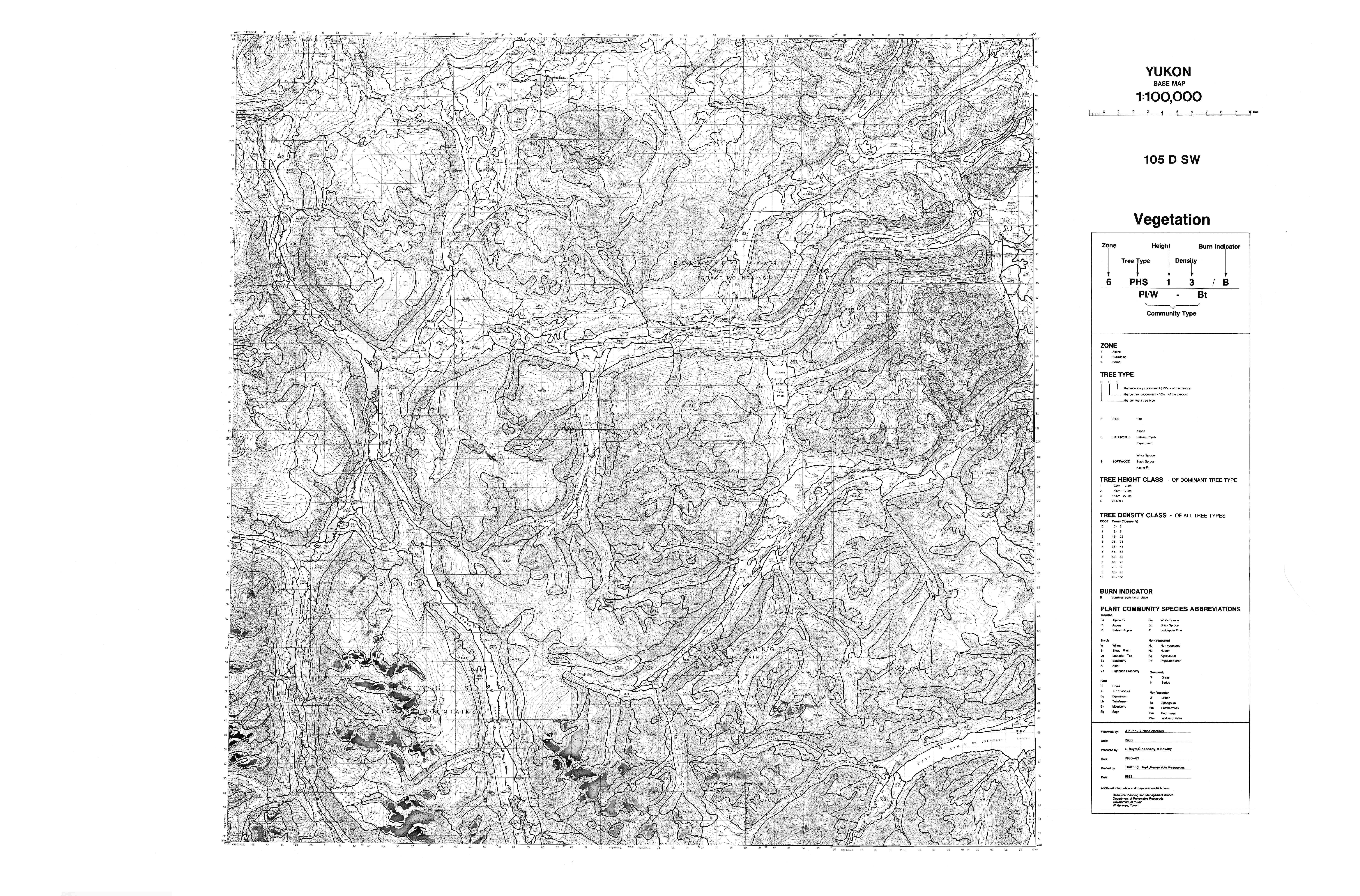
Vegetation map: 105D sw (JPG, 7.9 MB)